Discover Hidden Overlanding Trails near Bankhead National Forest
Share
You love the high-octane thrill of the rock parks, but sometimes, the tribe needs true solitude. We’re talking about that deep, quiet sense of freedom that only comes from driving a dozen miles past the last sign of pavement, where the dense canopy swallows the sounds of civilization. The adrenaline isn’t about climbing a vertical wall; it’s about testing your self-reliance against the wild.
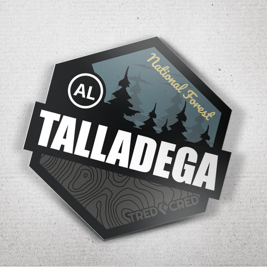
Welcome to the William B. Bankhead National Forest near Double Springs, Alabama—180,000 acres of bluffs, canyons, and the untouched beauty of the Sipsey Wilderness. This is the promised land for overlanding. It’s where your durable 4x4 becomes a key to the wilderness, unlocking remote trails that feel like they haven't seen a tire track in months. Forget following the crowds onto well-worn routes.
Tred Cred is here to unlock the secrets of the Forest Service Roads (FSRs)—the hidden trails that let you proudly rep your journey with an authentic story of discovery. Get ready to embrace the unmaintained, because the greatest exploration requires getting a little lost in the right direction.
Navigating the Bankhead Backbone: The FSR System
Unlike a controlled OHV park with color-coded boundaries, the Bankhead operates on a system of FSRs, a vast network of numbered roads maintained (or intentionally not maintained) by the U.S. Forest Service. This is where your skills as a navigator and prepared adventurer truly come into play.
The FSR Dialect: More Than Just Gravel
The main FSRs near Double Springs, like Hickory Grove Road (FS 255), might start as smoothly graded gravel, perfect for airing down a few pounds and enjoying the scenic drive. But don't let the simplicity fool you. The challenge of the Bankhead lies in the unmapped side roads and the effects of Alabama’s seasonal weather. A trail that’s Class 2 (easy) in late summer can quickly become a Class 4 (challenging) rutted mess after a heavy spring rain. The FSR is a resilient entity; its difficulty is constantly changing.
One year, running a lesser-known offshoot like Mount Olive Road (FS 245), the trail transitioned from dry gravel to a section of steep, loose shale, followed by a low-water crossing. It demanded 4-Lo, careful throttle application, and every inch of ground clearance I had. It wasn't a rock garden, but the sustained, technical grade on loose rock was a genuine test of my tires and my suspension’s quality.
The MVUM: Your Key to the Wilderness
To access the true freedom of the Bankhead, you need to speak the language of the Forest Service: the MVUM (Motor Vehicle Use Map). Why is this digital tool mandatory for legal exploration? Because private land, seasonal gates, and restricted wilderness areas weave in and out of the National Forest boundaries. Relying solely on Google Maps is a guaranteed way to find a frustrating dead-end or, worse, trespass.
I learned this the hard way early in my journey. I was relying solely on my phone’s GPS to navigate to a remote campsite. I happily drove down what looked like a public road only to encounter a formidable gate with a sternly worded “Private Property” sign. I had to backtrack miles on a tight, windy road, burning precious daylight and fuel. My mistake? Not cross-referencing my position with the MVUM. The MVUM is the authentic map of the tribe—it shows you exactly which lines are legal for a 4x4 and which are strictly for hiking. Grab a digital version for offline use, and never hit the trail without it.
Discovering the Hidden Gems: Waterfalls & Canyons
The Bankhead National Forest is nicknamed "The Land of a Thousand Waterfalls" for a reason. Unlike other parks where the waterfall is a manicured roadside attraction, here, the best scenery is earned by using your overlanding rig as a tool to access remote trailheads.
The Trailhead Reward
The FSRs are your connective tissue, linking you to the famed gorges and canyons of the Sipsey Wilderness. While you can't drive into the Wilderness Area, your 4x4 can get you to trailheads like the one near Braziel Creek Road (FS 223), or put you within a few hundred feet of the stunning cascades.
Take Kinlock Falls, for example. This beautiful, picture-perfect cascade is right off the roadside—a perfect, easy reward for a long drive. But for the serious adventurer, the FSRs allow you to park your overlanding rig safely and hike deeper. You can use your truck as a mobile basecamp for a full day of scrambling down the Bee Branch Trail or the Sipsey River Trail, chasing the larger, more powerful waterfalls like Caney Creek Falls or the legendary Big Tree (Alabama's largest Yellow Poplar). The true freedom is combining the drive with the hike.
The beauty of the Bankhead is its dramatic seasonal change. After a winter or spring rain, the canyons roar with waterfalls, turning small stream crossings into true tests of a durable rig. What should I pack specifically for water crossings? Always have waterproof footwear (for scouting the depth) and a change of clothes—because you will be tempted to get closer to the rushing water. The air is thick with the scent of pine and damp earth, and the sound of falling water is an epic soundtrack to your exploration.
Primitive Camping: Claiming Your Territory
The ultimate expression of overlanding in the Bankhead is the ability to choose your own campsite. This is where your mobile basecamp concept delivers maximum freedom and solitude.
The Rules of Solitude (LNT)
The Bankhead generously allows dispersed camping—camping outside of a designated fee area—for up to 21 consecutive days in most of the general forest. This is the authentic way to experience the woods, but it requires a commitment to the community-focused principle of Leave No Trace (LNT).
- Location, Location: You must find a level, previously disturbed spot, at least 100 feet from any water source and 50 feet from the FSR. The challenge is often finding a pull-off wide enough for your durable 4x4 that still feels secluded.
- Food Storage: Bears and other curious wildlife are present. What’s the best way to secure food from bears and other wildlife in the Bankhead? Do not store food or cooking smells in your tent or rig. Use a bear canister, or better yet, hang your food in a quality dry bag well away from your camp.
- Fires: Check local fire restrictions. If fires are permitted, use an existing fire ring, keep it small, and ensure it is dead-out cold (use water and stir the coals) before you leave.
I remember one late-season trip to a high, secluded pull-off along an FSR, not far from the Wolf Pen Hunters Camp area. We arrived after dark, and setting up our rooftop tent was a massive convenience—our shelter was ready in minutes. In the morning, the dense fog lifted to reveal a spectacular canyon view. The sense of solitude was absolute. It was a powerful reminder that the best campsites are the ones you find for yourself, and the best quality gear is the stuff that gets you set up fast and keeps you safe in the wilderness.
Rep Your Solitude: The Quiet Victory
When you finish your journey and roll back into the town of Double Springs, your rig will look different. It won’t have the rock rash of a park crawler, but it will have the fine layer of pine needles and Alabama red dirt—a subtle, beautiful marker of miles traveled on unpaved roads. This is your quiet victory.
From Trail Dust to Tred Cred
The final ritual is checking your rig. The rough FSRs can be tight, so check for pinstriping (minor scratches from branches) and undercarriage wear from unexpected ruts. Then, perform a quick fluid check. FSRs often have hidden water or mud holes that test your axle seals—checking for milky fluid is a smart, durable practice.
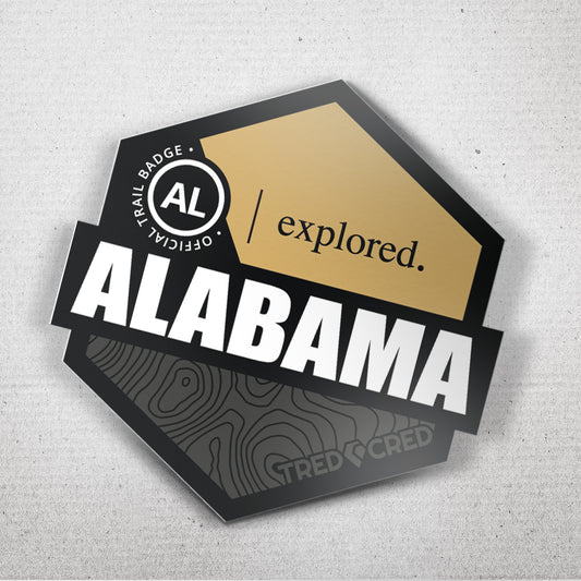
The next step is cementing the exploration. The Bankhead National Forest patch or sticker is your proof. It doesn't represent a vertical climb; it represents the long-haul drive, the self-sufficient camp, and the solitude you earned. It shows the tribe that you value the journey as much as the destination.
When you proudly rep your journey with that patch, you are telling a story of freedom—that you took the time to find the hidden waterfalls and claim your own piece of the American wild. Go find that perfect spot to display it, grab some lunch, and start planning the next epic exploration.
Go Conquer the Journey!
Grab your MVUM, pack your tent, and send it deep into the Bankhead National Forest! This is where you prove the resilience of your rig and find the true meaning of freedom. The 4x4 is your key to a world of endless exploration—waterfalls, canyons, and ridge-line solitude are waiting.
Go explore, discover your own hidden waterfall, and come back to proudly rep your journey. The wild is waiting, tribe.
Community Challenge: Your biggest Bankhead Overlanding challenge is: (A) Navigating with the MVUM, (B) Finding a level campsite, or (C) Protecting against wildlife? Drop a comment below and let the off-road family know what you're prepping for!